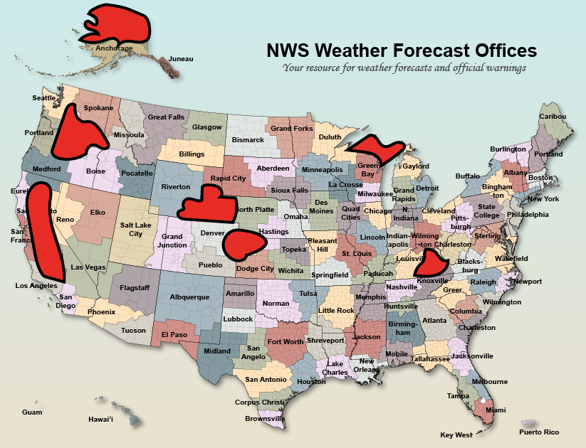
Hello everyone, this is my first post on Mastodon! I am an aspiring Meteorologist that loves to forecast, photograph, and talk about all things weather. I am mainly focused in the Pacific Northwest but I also like to include the entire West Coast and even some other places across the world in my weather discussions. Feel free to ask anything you want about the weather and I will gladly give as best of an answer as I can! Time to start checking this app out.
#wawx #orwx #cawx #bcwx #introduction
orwx
Hi folks!
I've been on Mastodon for about a year and would like to meet more accounts to follow to follow. Please boost and provide recommendations.
I am an #EmergencyManagement professional who specializes in wildfire recovery. I assist communities with rebuilding after #disasters, funding sheltering and evacuation costs, drafting mutual aid agreements, and developing comprehensive recovery plans.
I don't know of many other folks on here that work in emergency management, but would like to make more connections.
I'm interested in #weather #HamRadio #Preparedness #PNW #Oregon #ORWX #Outdoors #minimalism #Equity #UnionStrong
LINK ➡️ https://youtu.be/mS0hHKApxPQ
Just uploaded a new forecast video discussing the active stretch of weather ahead and the very intense bomb cyclone that will rapidly intensify off the coast on Tuesday. Check it out via the link above!
#wawx #bcwx #orwx #cawx🌀
Welp
It's mid-February and ski season just went all to hell in the Washington state mountain passes
Snoqualmie Pass I-90
I-90 at MP 52: Snoqualmie Summit
Pass report:
Temperature: 39°F / 4°C as of 12:30 PM 02/18/2025
Elevation: 3022 ft / 921 m
Stevens Pass US 2
US 2 at MP 64.6: East Stevens Pass
Pass report:
Temperature: 37°F / 3°C as of 2:47 PM 02/18/2025
Elevation: 4061 ft / 1238 m
39F and 37F
That freezes hard overnight and we'll have a good batch of Cascade Concrete(tm) all ready and waiting for tomorrow morning
LINK ➡️ https://youtu.be/dADbUvebcAI?si=uRj0-2RGGG8JHeGR
New video uploaded discussing another cyclone that will effect the PNW starting tomorrow! Watch it by clinking the link above. #wawx #bcwx #orwx #cawx
This is the Forecast Discussion from KSEA / Seattle WA NWS at Monday 12/30/2024 04:50:02 PST
SHORT TERM, today into Wednesday:
Radar shows scattered shower activity persisting across much of western Washington early this morning. Expect this shower activity to continue through much of the day today as an upper level trough traverses the area. Rainfall amounts will remain rather light and snow showers will continue for the mountains with snow levels generally expected to hover between 2000-3000 feet.
A few additional inches of snow will be possible for the Cascade passes through the day, but snowfall rates are expected to remain low with no additional significant impacts expected at this time. Showers will gradually taper tonight.
A transient upper level ridge will move into the area tonight into Tuesday, bringing a brief break in the active weather to western Washington.
Skies may clear just enough overnight to allow for morning lows on Tuesday to drop close to freezing, mainly for areas across the southwest interior and along the Cascade foothills.
The next frontal system will approach western Washington Tuesday night into Wednesday, with precipitation making its way inland along the coast by late Tuesday afternoon and gradually pushing inland Tuesday night into Wednesday.
The bulk of the moisture associated with this system will remain over Oregon and northern California, so expect precipitation amounts to remain rather light, with rainfall amounts generally ranging from a couple hundredths of an inch to a quarter of an inch across the interior lowlands.
Copy-pasted from the "Deep Weather" app on my iPhone 14
This is the Forecast Discussion from KSEA / Seattle WA NWS at Monday 01/06/2025 06:09:55 PST
SHORT TERM, today Monday into mid-week:
The main story for the next week is pretty benign weather for January in Western Washington.
Satellite imagery early this morning shows cloudy skies over most of the lowlands with mostly clear skies over the mountains.
Increasing northerly winds have dissipated some of the fog with a few places, like Bellingham and Everett still reporting a mile or less visibility.
Temperatures were mostly in the mid 40s.
Upper level ridge offshore building into Western Washington today.
The forecast problem for the day is how long the low clouds hang around in the lowlands.
Early morning top reports from aircraft flying into Seattle-Tacoma airport have the tops 2000-2500 msl and the cloud layer 1000-1500 feet thick. KOLM-KBLI gradient below -2 mb and will stay that way this morning so expect what is left of the fog to dissipate by mid morning.
The cloud cover is another matter. Subsidence from the upper level ridge building into the area will help compress the low level moisture layer but model soundings show light winds above the surface and the inversion not breaking until this afternoon.
1500 feet of moisture will take a little time to dissipate under these conditions.
Will word the forecast cloudy in the morning becoming sunny in the afternoon for most of the lowlands. It will be a sunny day in the higher elevations.
Highs today in the mid 40s to lower 50s.
Copy-pasted from the "Deep Weather" app on my iPhone 14
This is the Forecast Discussion from KSEA / Seattle WA NWS at Monday 12/23/2024 04:24:19 PST
SHORT TERM: Today will feature a somewhat longer reprieve from more active weather, with the next front arriving tonight into Tuesday morning. Right now, scattered showers linger along the Olympic Peninsula and in the Cascades.
This will largely taper off into the late morning hours. Expect partly cloudy conditions with a high in the low 50s today.
Going forward into Tuesday, the next storm will arrive and bring another round of rain and stronger winds. Wind direction will be out of the east to southeast for much of Tuesday morning before transitioning to southerly as the frontal system gets nearer to the coast.
Cascade gaps, northern Olympic Peninsula and immediate coastal locations will see the strongest winds. Right now, the forecast calls for gusts in these locations to be between 35 and 40 mph through late Monday night into early Tuesday morning.
Copy-pasted from the "Deep Weather" app on my iPhone 14
This is the Forecast Discussion from KSEA / Seattle WA NWS at Tuesday 01/28/2025 06:16:14 PST
SHORT TERM, today Tuesday into Thursday:
Yet another early morning under the ridge, bringing about what one would expect from this weather pattern. Temps around W WA are similar to those of 24 hours ago, with minor variances of a degree or two here and there. Obs as of 1 AM PST reading generally in the mid to upper 20s while locations immediately adjacent to water are still in the lower 30s.
Another aspect of the ridge, patchy fog, is having a slightly better go at forming with satellite imagery showing a swath along the west banks of the Sound as well as its typically preferred location at the southern tip of the Sound, near Olympia.
Copy-pasted from the "Deep Weather" app on my iPhone 14
This Message is from Washington State Ferries @ Monday 02/24/2025 12:40:26 PST
All ferry passengers should be prepared for possible service disruptions starting this afternoon through tomorrow morning due to high winds
Anacortes/San Juan Islands and Port Townsend/Coupeville routes:
With stronger winds in the north, we expect these routes to be most impacted by severe weather. This could include delays and cancellations.
All routes:
Passengers can expect a bumpy ride due to choppy waters. To better stabilize vessels, we may load them to full vehicle capacity and operate at slower speeds.
We will continue to closely monitor the situation and send rider alerts as changes occur. We want to thank you in advance for your patience and understanding as delays and cancellations are likely.
#WAwx #ORwx #BCwx #PNWwx #PNW #KSEA #NWS #WX #Weather #HighWinds #WSF
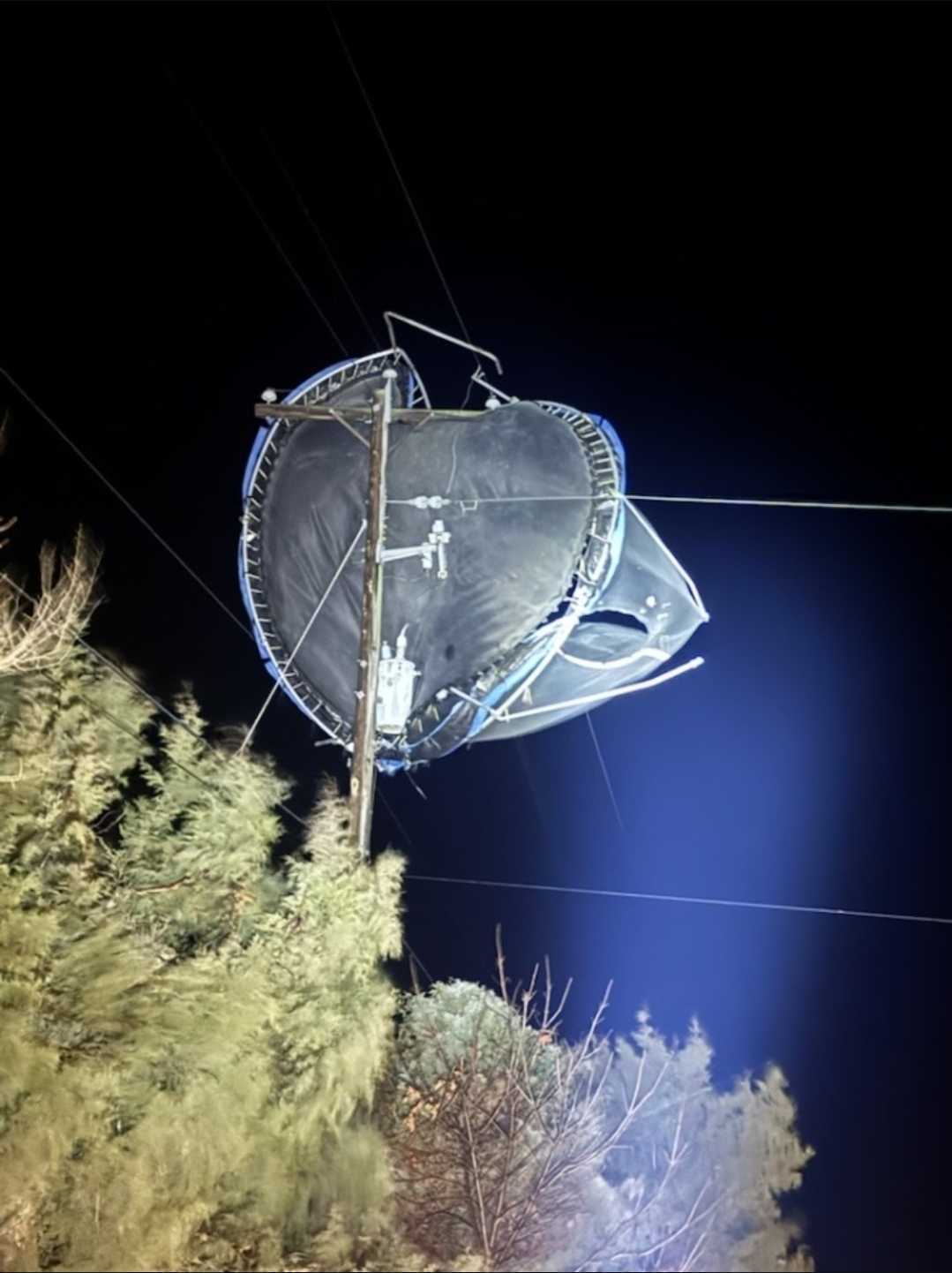
This is the Forecast Discussion from KSEA / Seattle WA NWS at Monday 02/03/2025 05:13:46 PST
SYNOPSIS (Sunday evening): An upper level trough will remain parked over western Washington throughout the week.
Below normal temperatures with brisk wind chills and continuing snow showers are expected at times in most areas.
Gusty Fraser River outflow winds will begin tonight and continue into at least Wednesday
Scattered snow showers continue to spin around an upper-low centered over BC this evening. For tonight, Hi-res guidance is persistent on painting showers across W WA into Monday morning.
Significant accumulation isn't expected but, locally lowered visibility and adverse road conditions are possible under heavier bursts of snowfall. Any lingering roadway moisture is subject to freezing causing a concern for black ice during the Monday morning commute.
Copy-pasted from the "Deep Weather" app on my iPhone 14
This just popped up on my iPhone. We shall see. I'd just finished brushing maybe an inch of snow off my car...
Winter Weather Advisory
Severity: Moderate
Weather Event Onset
5:00 PM (PST), February 3
Description:
* WHAT...Snow expected. Total snow accumulations up to two inches.
* WHERE...Bellevue and Vicinity, Everett and Vicinity, and Seattle and Vicinity.
* WHEN...From 5 PM this afternoon to 10 AM PST Tuesday.
* IMPACTS...Plan on slippery road conditions. The hazardous conditions could impact the Monday evening and Tuesday morning commutes.
* ADDITIONAL DETAILS...Snow totals will be localized in nature due to scattered coverage of snow showers. Not all locations will receive accumulating snowfall.
This is the Forecast Discussion from KSEA / Seattle WA NWS at Tuesday 02/04/2025 05:38:26 PST
SYNOPSIS:
An upper level low spinning across the Pacific Northwest will continue to bring chances of snow showers to western Washington over the next few days before pushing inland on Friday.
Cold, below normal temperatures will persist across western Washington throughout the week.
Gusty Fraser Outflow winds will continue to produce wind chills in the single digits to teens for northern areas like Whatcom County into midweek.
Copy-pasted from the "Deep Weather" app on my iPhone 14
This is the Forecast Discussion from KSEA / Seattle WA NWS at Tuesday 02/11/2025 06:19:41 PST
SYNOPSIS:
Clear skies across Western Washington early this morning with very cold conditions for the area. Widespread 20s across the area as of 200 AM with wind chills dipping down into the teens for northern portions of Western Washington and along the Olympic Peninsula
Temperatures will only rise into the 30s for most areas this afternoon with a few low 40s possible along the coast. Otherwise, very cold temperatures are expected again tonight into Wednesday morning
For this reason, the Cold Weather Advisory continues for the lowlands through Wednesday morning. Make sure to bundle up if you're heading outdoors the next few mornings
The next frontal system will begin to move onshore along the Oregon coast Thursday morning, and spread precipitation northwards into southern Washington Thursday
Copy-pasted from the "Deep Weather" app on my iPhone 14
This is the Forecast Discussion from KSEA / Seattle WA NWS at Tuesday 03/25/2025 14:54:53 PDT
SYNOPSIS:
The focus shifts to convection on Wednesday, with impactful weather on tap for all of western Washington
As a low pressure system approaches the Pacific Coast, showers and embedded thunderstorms are likely to form over the Olympic Peninsula throughout the mid to late morning hours
A dynamic warm front will lift across the region throughout the afternoon and into the evening, bringing a round of widespread and potentially strong thunderstorms northward
The primary threats for these storms will be hail and/or gusty winds, alongside frequent lightning and locally heavy rain
The strongest storms are currently favored to move northward east of the Puget Sound Wednesday along the I-5 corridor during the mid- to-late afternoon, likely causing impacts for the afternoon commute
Copy-pasted from the "Deep Weather" app on my iPhone 14
This is the Forecast Discussion from KSEA / Seattle WA NWS at Tuesday 03/18/2025 09:17:39 PDT
SYNOPSIS:
Temporary weak upper level ridge building over Western Washington today. The ridge will shift east tonight with the next front approaching the area Wednesday
Front moving through Wednesday night into early Thursday morning with rain and locally windy conditions
Another system riding a somewhat strong jet stream will reach the area Thursday night into Friday followed by a system Saturday
Possible atmospheric river setting up Sunday before lifting north Monday.
Copy-pasted from the "Deep Weather" app on my iPhone 14
This is the Forecast Discussion from KSEA / Seattle WA NWS at Sunday 04/06/2025 09:11:38 PDT
SYNOPSIS:
Front moving through Western Washington tonight with rain out ahead of the system spreading over the area today
Upper level trough behind the front Monday with the trough axis moving through Tuesday
Upper level ridge trying to build Wednesday
Next system arriving late Thursday with another upper level trough behind it for Friday
Copy-pasted from the "Deep Weather" app on my iPhone 14
New article: Pacific Northwest heatwave starts this weekend, Columbia Basin likely to hit 100°F