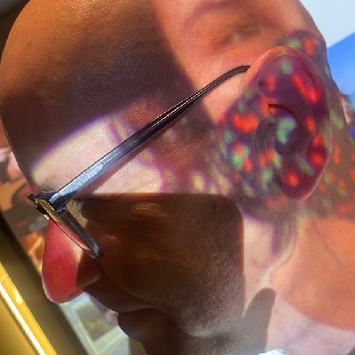
Seaford is either home to a bloody big spider, or a portal. I'm hoping it's some kind of space-time warp, because I vaguely remember surveying it next month. #OpenStreetMap
openstreetmap
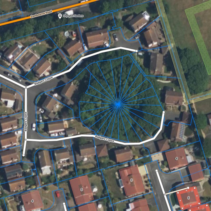

The source code of #FediHood is now available under the AGPLv3.
A #Fediverse app using #OpenStreetMap to display timelines close to you, filtered by topics.
More about the project: https://fedihood.social/about
Source code: https://git.holos.social/tom79/FediHood

Veux-tu des tuiles (mais pas trop de tuiles)? Tiens, des tuiles!
Do you want tiles (but only a few tiles)? Here, have some tiles!

🗳️ MapLibre Governing Board Election 2026 is open!
Nominate Voting Members: github.com/maplibre/maplibre/issues/506
Run for the Board: github.com/maplibre/maplibre/discussions/507
⏳ Deadline: Aug 14, 2026
Details: github.com/maplibre/maplibre/issues/508

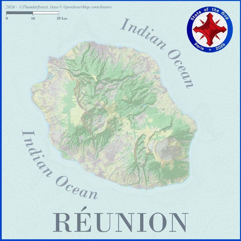
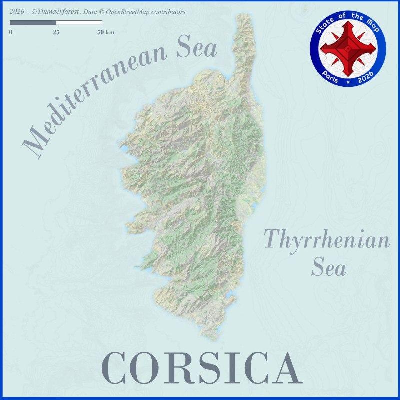
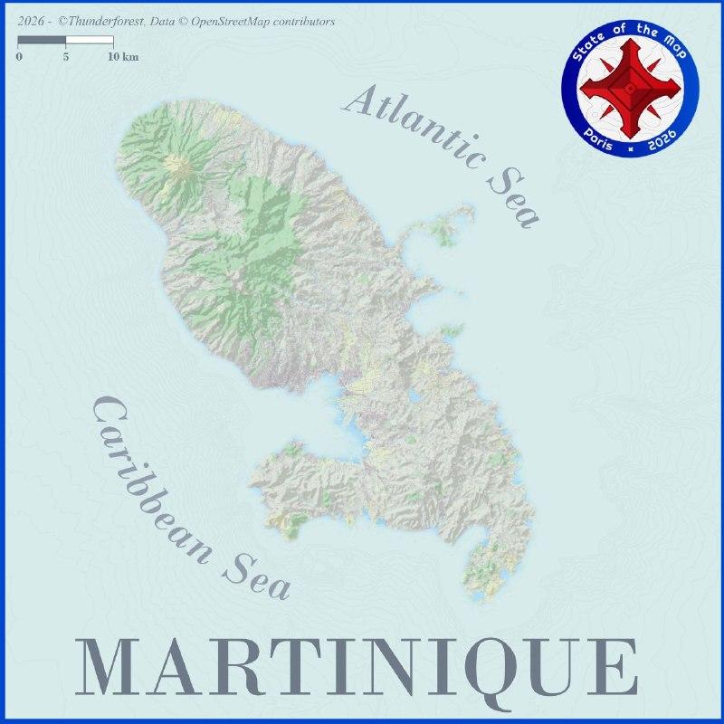
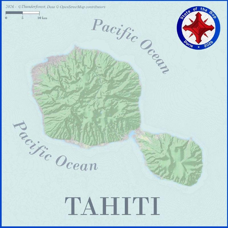
You can discover (or rediscover!) them through these different maps 👇.
Interested by the event? Check out the program right now on the SOTM website 👉 https://2026.stateofthemap.org/programme/
I stopped using #Google and any other #bigtech products a long, long time ago (2015-ish? maybe earlier). It's time for everyone else to move away too, and this includes #Apple, Microslop (#Microsoft), #Meta, #Amazon and many others.
ONLY use #openSource products:
- use #linux
- use degoogled Android ROMs like @GrapheneOS, and many others for any Android phone
- use @fdroidorg as your store
- use #OpenStreetMap clients (like @organicmaps)
- music: @powerampache
Reply here or DM me for guidance

Recently I learned about TouchMapper: Create tactile maps easily for any address.
They use #OpenStreetMap to create printable 3D models of an area, for people with no/bad vision to literally get a feel for the place.
I love the initiative!
#maps #accessibility #inclusion #vision #3dprinting #AwesomeStuff