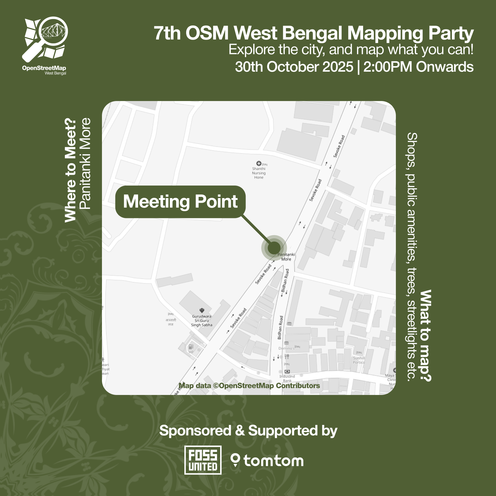
The #OpenStreetMap community of #Delhi invites everyone to its 20th MapWalk!
🗓️ Sunday, 10th of August
🕙 4 PM to 7 PM
📌 Laxmi Nagar Metro Station
https://osmcal.org/event/3953/
Visit the link to learn more, register, and add the event to your calendar.
The more the people, the greater our impact. Each mapper matters!



 Recebi brinde sorteado na Semana do Software Livre no Brasil, em outubro, gentilmente enviado pela União de Mapeadores Brasileiros do OpenStreetMap
 ![A white canvas tote bag with the "Mapeia Brasil: collaborative mapping based on OpenStreetMap" logo, featuring a stylized person holding a mobile device and a road element in a green map of Brazil, rests on a round glass table. A cat noses between the bag and a smartphone showing a time (17:59) on its black screen. There are also plastic bags scattered nearby. [Portuguese] Uma sacola de pano branca com o logotipo "Mapeia Brasil: mapeamento colaborativo baseado no OpenStreetMap", exibindo uma pessoa estilizada segurando um smartphone e um elemento de rodovia, repousa sobre uma mesa de vidro redonda. Um gato fuça entre a sacola e um smartphone com horário na tela preta, com sacolas plásticas espalhadas por perto. A white canvas tote bag with the "Mapeia Brasil: collaborative mapping based on OpenStreetMap" logo, featuring a stylized person holding a mobile device and a road element in a green map of Brazil, rests on a round glass table. A cat noses between the bag and a smartphone showing a time (17:59) on its black screen. There are also plastic bags scattered nearby. [Portuguese] Uma sacola de pano branca com o logotipo "Mapeia Brasil: mapeamento colaborativo baseado no OpenStreetMap", exibindo uma pessoa estilizada segurando um smartphone e um elemento de rodovia, repousa sobre uma mesa de vidro redonda. Um gato fuça entre a sacola e um smartphone com horário na tela preta, com sacolas plásticas espalhadas por perto.](/proxy/post_attachment/931489/755e184808.jpg)
 🇪🇺
🇪🇺

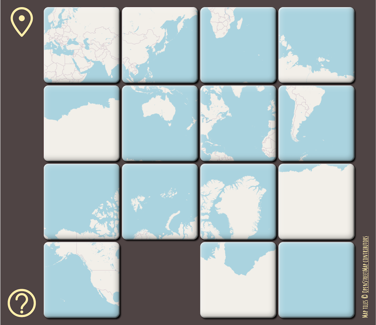
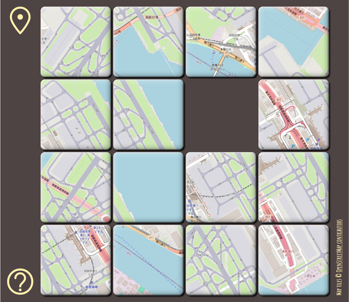
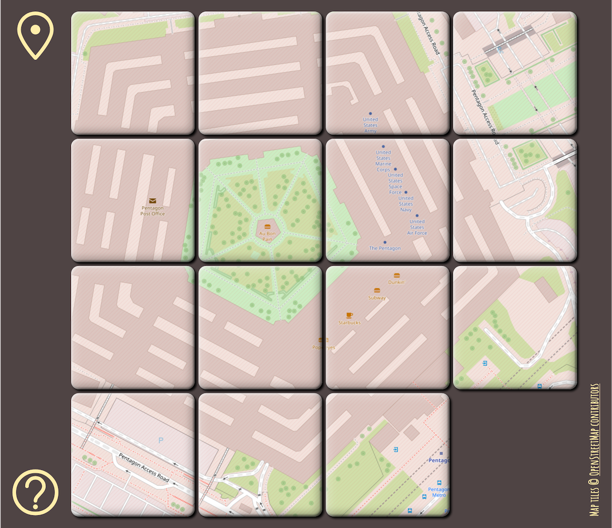
![Screenshot of a web app showing a selection menu titled, “Choose Map”. The choices are: World, Europe, Southeast Asia, Aegean Sea, Ireland, South Korea, Tasmania, Lesotho, Hawai‘i, Rio de Janeiro, San Francisco, Barcelona, London, Schiphol [AMS], Haneda [HND], Paris, Pentagon, MoMA New York, Shibuya Station, and St. Peter’s Basilica. Screenshot of a web app showing a selection menu titled, “Choose Map”. The choices are: World, Europe, Southeast Asia, Aegean Sea, Ireland, South Korea, Tasmania, Lesotho, Hawai‘i, Rio de Janeiro, San Francisco, Barcelona, London, Schiphol [AMS], Haneda [HND], Paris, Pentagon, MoMA New York, Shibuya Station, and St. Peter’s Basilica.](/proxy/post_attachment/462954/9436d0cad3.png)