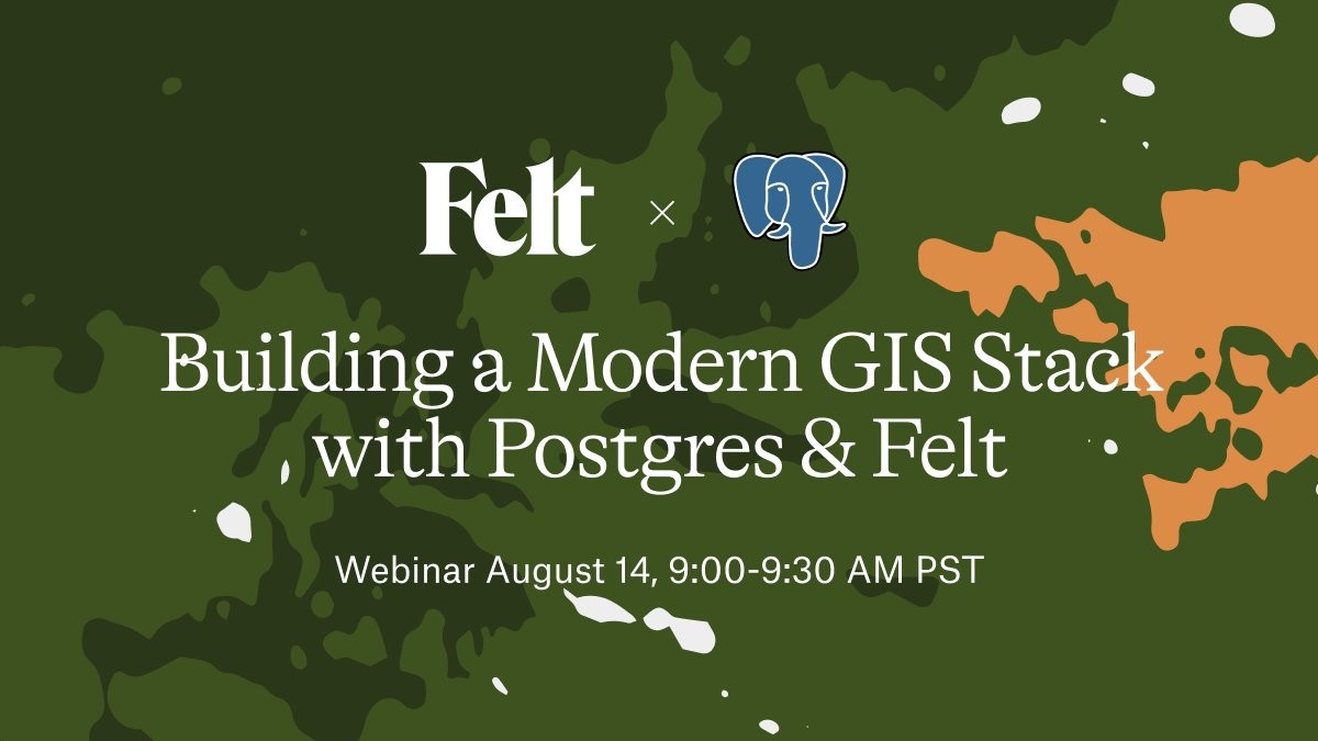
Join geospatial expert @migurski Aug 14 for a live webinar on how to connect a #postgresql database and surface all your spatial data instantly in Felt. Save your spot 👉 https://us06web.zoom.us/webinar/register/WN_YjSzHsLTT2KAkRCMzm32Vw#/registration
geospatial
Any #GeoSpatial nerds able to help me with a mapping problem?
I'm using #MapLibre-GL to draw GeoJSON points on a map.
I'm using clustering to group the points when zoomed out.
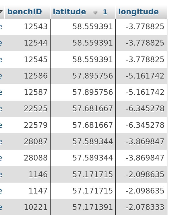
But some of my points have *identical* locations. So, when I zoom in, the cluster disappears and points are overlayed. They look like there's only one point.
Is there an elegant way in MapLibre-GL to scatter these identical points? Or reveal them to the user some other way?
Random suggestions welcomed!
Time for a new #introduction!
I'm a former #geographer & #mapmaker, now working on a #PhD project in digital #archaeology, between #Prehistory and #openSource #geospatial.
I used to work as an #artist, I'm into #sailing (I was #livingAboard during a few years) and #musicMaking is my happy place. I'm also a happy #dad and I'm fluent in fr, en & es.
Finally, I'm the proud admin of https://Mapstodon.space, a great #Mastodon instance dedicated to maps — & full of decent and interesting people!
En.osm.town is an independent Mastodon server for people active in the OpenStreetMap community.
This server has been operating since 2018.
You can find out more at https://en.osm.town/about or contact the admin @compass
cc @openstreetmap
#FeaturedServer #OpenStreetMap #OSM #Geospatial #GIS #Maps #Mapping #Cartography #Mastodon #Fediverse #FreeFediverse
#Geography & #Geospatial picks of the day:
(Big topic so am skipping descriptions & emoji)
EVENTS
@foss4gna
@sotm
@sotmfr (in French)
NEWS
@geonews
BLOGS
@mapologies
SOFTWARE
@geoserver
@qgis
@grassgis
@protomaps
@geopandas
@gisocw
ORGANISATIONS
@CaGIS
@osgeo
@FOSSGISeV (in German)
GOVERNMENT BODIES
@BKG (in German)
@cnig_france (in French)
@adressedatagouv (in French)
@ignfrance (in French)
🧵 1/4